Highpoint: Seltannasaggart (2/32)
County: Roscommon
Elevation: 412m
Difficulty: Easy, with some moderately tricky bits of bog if it’s wet.
Route difficulty explained.Our route distance: About 5km round trip
Views: Pretty

The high point of Co. Roscommon is the East Slope of Seltannasaggart, a hill that technically has its ‘peak’ in Co. Leitrim, but whose slope in the Corry Mountain Bog extends down into Roscommon towards Lough Allen. At 412m, it is one of Ireland's lower county high points, and one of only two that is a slope as opposed to a point.

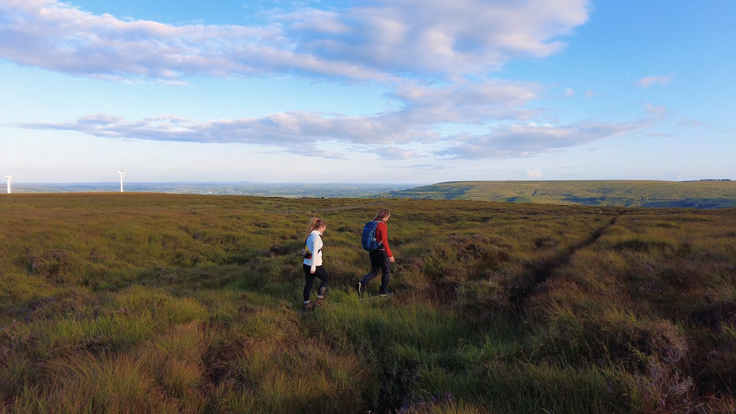
We approached Seltannasaggart along the Miner's Way & Historical Trail from the south west side of Corry Mountain Bog. Our hike was an out and back, and was around a 5.5km round trip. Parking in a large access road entrance, we started our hike up from the small boreen that runs parallel to the Arigna River on it’s northern bank. Turning off the lane, we’re on a grassy slope that leads up to the bog, and we slowly climb our way upwards. Hitting a wire fence, we cross it and turn right as the grass gives way to heather. Following the fence across the side of the hill, we then turn sharply left and over another stile, the heather now giving way to wetter bogland as we continue uphill once more. We spend most of our time slowly meandering our way up the hill, knowing there’s no real time limit for our evening hike, the breeze ensuring that we never stop for too long. Throughout this bogland we try to stick to the line that the waymarkers make across the horizon, as there are old mine shafts on these hillsides.
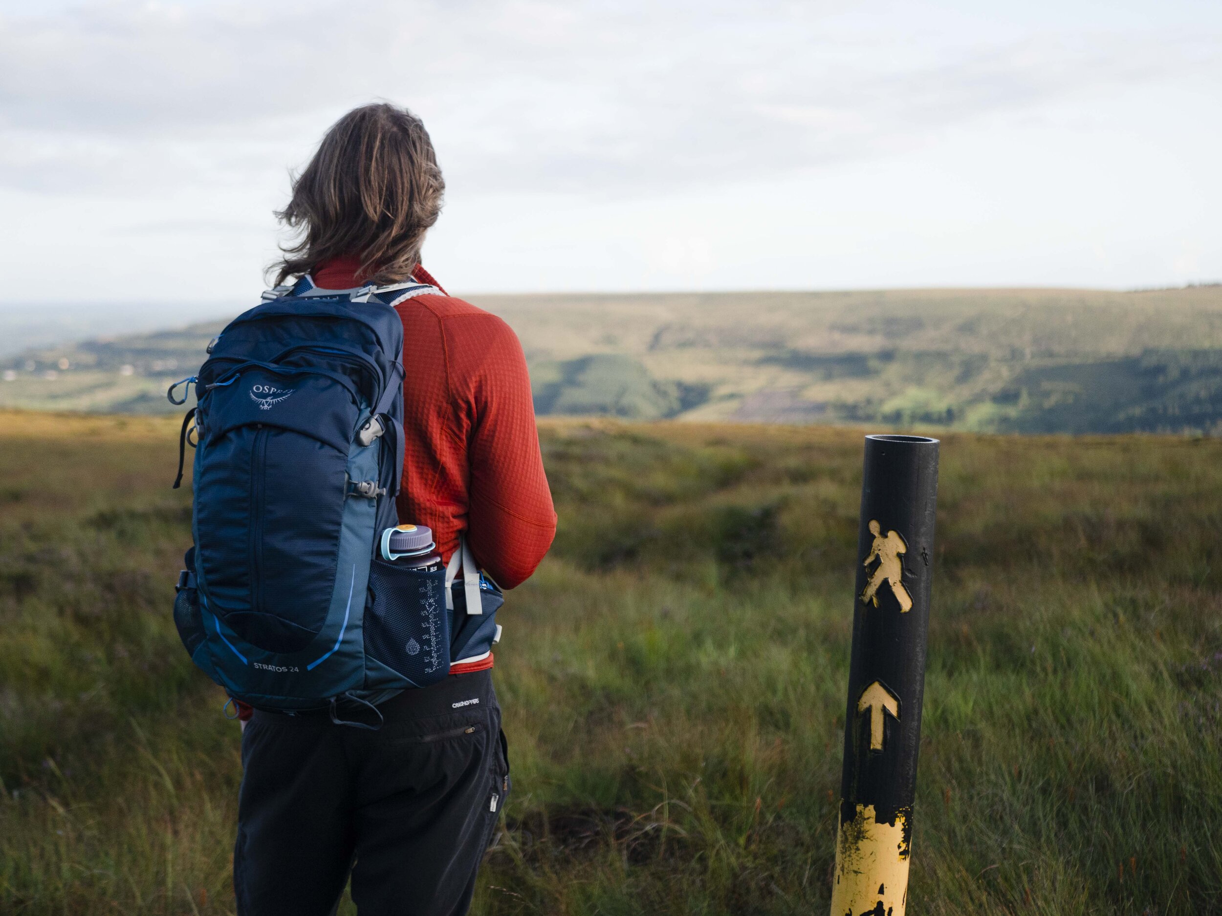
Reaching the end of the bog, we hit the wind farm access roads and turn left, continuing up hill. It’s not a far walk through the wind farm, but being a place that all looks the same, it’s tricky to pinpoint exactly where we’re aiming for. If you reach a large concrete building, you’ve gone too far. How we locate the small cairn is by standing higher up the hill than it, and looking back down at it.
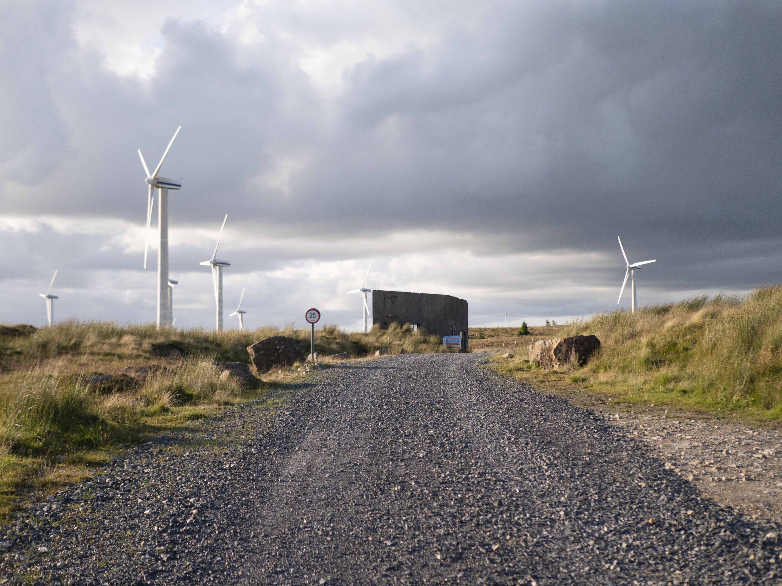
The concrete building to not pass on the way to the high point. Cairn is off the the righthand side of this road
Squelching our way through some rushes, we find our small pile of stones and look out at a view that we weren’t expecting. For our whole evening, the sun was in a permanent state of setting, liquid gold light pouring over the hills, only to cool to dark ambers and oranges on the shady slopes.


To head back we simply retrace our steps, the speed of descent always surprising me as each section flows past when gravity is on your side.
When researching this high point, we found that most other accounts talked about driving all the way up to the wind farm, and just walking one of the access roads the whole way to the top. We didn't take this route, as for us it's not about getting there fast and ticking a box, but having a fun hike, and seeing some more beautiful places around this island.

On our drive to and from Seltannasaggart, we took tiny backroads that twisted and turned their way over Kilronan Mountain, and the Arigna area in general. A highlight was passing over Gubbarudda Bridge over the Arigna River - a bridge with a bright orange railing, and two arching blue pipes lining the railing on the inside. It was barely wide enough for my wing mirror


If you want more details, and other route options, check out Mountains Views.
To learn more about trail and hillwalking grading, click here.
To learn more about the County High Points of Ireland, click here.